Day 19 - Birch Lake to Moose Lake and Out (Thursday, August 21)
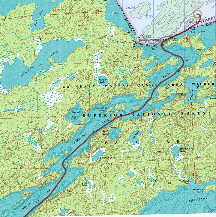
7 miles, 0 portages
|
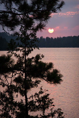
Final Quetico sunrise on Birch Lake.
(click on any image for larger version)
|
|
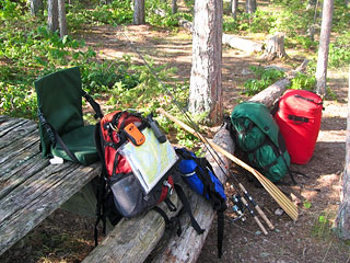
Packed up and ready to head out. (Birch Lake)
|
The sunrise developed into a very colorful display of pinks and purples.
The loons out front were more vocal than usual this morning, perhaps agitated by an immature bald eagle that was soaring overhead.
The current weather forecast indicated that the threat of strong winds and storms had increased for Friday, so I decided to make today my day to exit.
Reinforcing this decision were the return of the motor boat sounds and having been originally awoken by the thud of canoes being loaded across the lake.
It was a good time to wrap this one up.
The overall weather on this trip had been so good that I hadn't needed to use any contingency days to wait out wind or storms.
I had sailed right through my route without any real setbacks, completing the loops earlier than expected.
This being my first solo and first trip to Quetico, I had been somewhat conservative with my travel estimates.
In hindsight I could have maybe gone a little further west from Robinson, possibly making a visit to Wheelbarrow and Basswood Falls.
But as things stood, this was all valuable experience that I could now use for planning my next trip.
I said my goodbyes to Birch Lake and Quetico as I made my way through the narrows and around the point toward Sucker Lake.
I could immediately tell from the group of canoes I passed and the fishing boat pulled up on a nearby shore that I would have lots of company on this trip out, and I did.
Just outside of Birch is the start of the Moose Chain of lakes where motors are permitted, and it didn't take long for me to begin encountering them.
The Moose Chain is really like a major highway in canoe country, connecting civilization with the remote border lakes of the BWCAW and Quetico.
My real paddling began into a stiff headwind as I made my way down Sucker Lake.
It gradually picked up as I crossed Newfound Lake, and by the time I reached Moose Lake, it was really blowing hard into my face, to the point where I could no longer keep the hat on my head.
The waves had also picked up considerably, and some were crashing over the bow and into the boat.
By now it was taking most of my strength just to keep the canoe straight and moving forward.
Most of the time I felt like I was standing still, but somehow progress was made.
Periodic gusts would hit, practically stopping me in my tracks, but rather than get frustrated, I'd just laugh.
It was a hopeless feeling when these bursts hit, but there was nothing I could do but endure them and start again.
After an hour or two of this battering, the Moose Lake entry point finally came into view, and before long I was dragging my canoe onto its sandy shore.
There were a number of other canoes lined up along the small beach, some coming and some going.
I spoke briefly to one couple returning from Ensign Lake who had paddled in right behind me.
We all shared a collective sigh of relief to be finally off the lake and out of that wind.
I packed up the car, and after an initial cough and sputter, it started, much to my relief.
I made the drive back to Ely, and once back within cell phone range, I stopped to make a few calls.
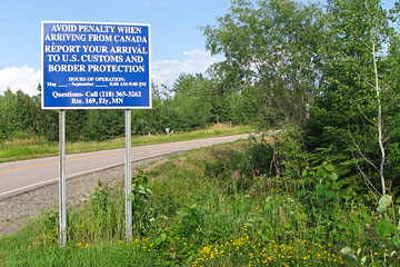
First I called U.S. customs to report my reentry back into the country (I had previously arranged this by obtaining an I-68 form).
Then I called family to let them know I had returned safely.
Heidi was still on her trip out west and was currently out of cell phone range somewhere near Yellowstone National Park.
Still, it was great to hear her voice again as I left a message on her phone reporting that I was back out and safe.
It wouldn't be long now before we would be back together, exchanging exciting stories about our respective adventures.
Trip Totals:
129 miles, 55 portages
|
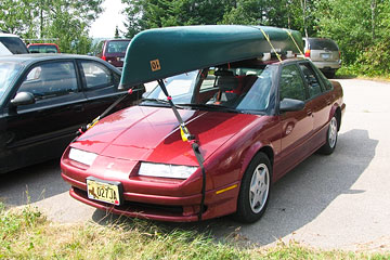
Ready for the drive home. Don't forget U.S. Customs. (Moose Lake)
|
|
|
Route Map, Day 19 (click to enlarge)
|
|
|
Route map of entire trip (click to enlarge)
|
|
Video (click image to play)

